Travel Guide Col De Chirongui
Find an accommodation
Advertising
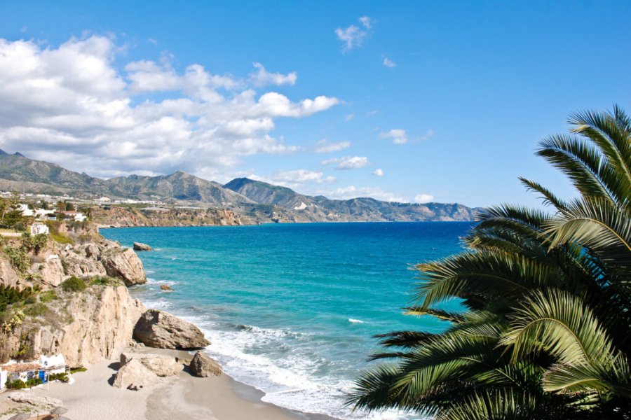
After East Bambo, the road rises in the mountain to the Chiroungui pass which delimits the eastern and western shores of the island. This is the narrowest place on the island. You will enjoy, while turning around, the landscape of the Sazilé point and its islet. Then, while tilting towards the west coast, one of the most beautiful panoramas of Mayotte: the bay of Bouéni and the mount Choungui at more than 594 meters of altitude which proudly dominates its south like a guard. If you look closer, you can see the traces of an ancient active volcano with its chimney located at the level of Mount Choungui. Mystical, this mountain is by far the favorite of the vacationers who do not hesitate to climb it to enjoy the view from its summit. However, be careful, this hike is not accessible to beginners or in rainy weather because it includes a part almost vertically. The bay of Bouéni corresponds to its crater now collapsed, disappearing gradually into the lagoon. The most poetic will say that the peninsula of Bouéni evokes the face of a woman in profile, especially at sunset. Romanticism guaranteed. In the middle of the water, the Karoni islet, with, on the right, a coast of mangrove which goes up to Sada... From this intersection, you can turn left and follow a small road that goes all around the South hand passing by Mtsamoudou, Dapani, then N'Gouja and Mzouazia. From the pass of Chirongui, we immediately reach the village of Chirongui.
Suggested addresses Col De Chirongui
Weather at the moment
Advertising
Organize your trip with our partners Col De Chirongui
Transportation
Book your plane tickets
Car Rental
Boat rental
Accommodation & stays
Find a hotel
Holiday rental
Find your campsite
Tailor-made trip
Immersion travel
Services / On site
Activities & visits
Find a doctor
Find unique Stay Offers with our Partners
Pictures and images Col De Chirongui
There are currently no photos for this destination.
Other destinations nearby Col De Chirongui
5 km away
25 km away


