Travel Guide Cajas Nacional Park
Find an accommodation
Advertising
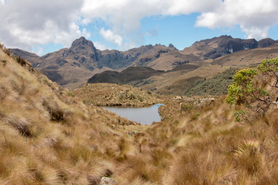
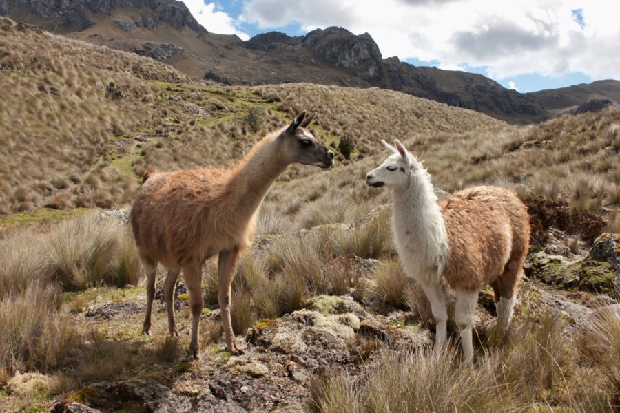
The park extends over 28,500 ha of the western Andes, between 3,200 and 4,450 m above sea level. Unique for its volcanic geology and flora, it is home to 230 lakes and lagoons set in superb mountain landscapes. This conglomeration of water bodies forms the source of the Yanuncay and Tomebamba rivers. The latter supplies water to the city of Cuenca. It was declared a National Park in 1996, allowing the establishment of rigorous control programs to protect this unique ecosystem.The panoramas are spectacular (Andean highland forest and páramo, in particular) and the whole area is of great scientific value. The near-desert páramo , the primary tropical forest and the cloud forests are all wild landscapes where you can enjoy sport fishing, birdwatching (toucans, condors, ducks, hummingbirds, partridges, etc.), mammal watching (spectacled bears, jaguars, porcupines, tigrillos, bats, etc.) and, above all, hiking for one or more days. Route 1, the most popular, takes 3-4 hours to cross several ecosystems, admire several lagoons and pose with the many local llamas.But beware: because of the altitude, it's often very cold when the sun goes down. But when it does come out, beware of sunburn! Sunscreen is a must. It's best to get there early, as the skies often become overcast in the early afternoon.And don't forget to check the weather forecast before you set off, because if the weather's bad, you could end up staying in the refuge!
Suggested addresses Cajas Nacional Park
Weather at the moment
Advertising
Organize your trip with our partners Cajas Nacional Park
Transportation
Book your plane tickets
Car Rental
Boat rental
Accommodation & stays
Find a hotel
Holiday rental
Find your campsite
Tailor-made trip
Immersion travel
Services / On site
Activities & visits
Find a doctor