Travel Guide Parque Nacional Chagres
Find an accommodation
Advertising
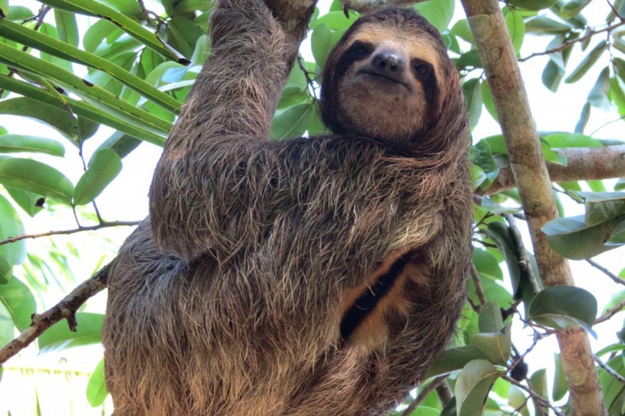
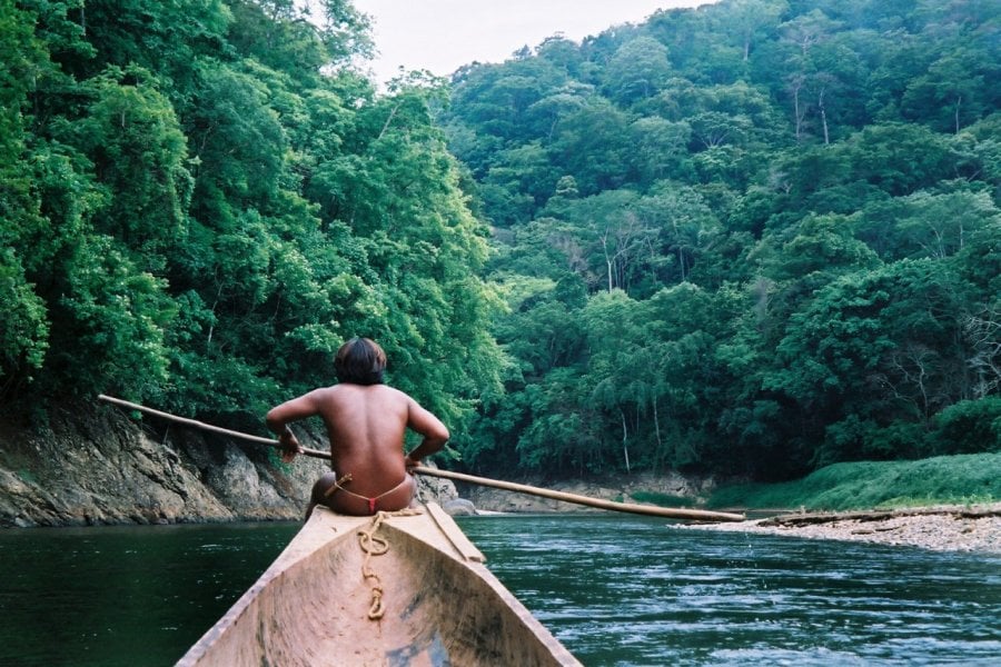
Straddling the provinces of Panamá and Colón, Chagres National Park protects almost 130,000 hectares of tropical forest and is home to a rich biodiversity, with many endemic species. The park is crossed by the Río Chagres and encompasses the whole of Lake Alajuela, formed by the Madden dam. Its topography is varied, with altitudes ranging from 60 metres to 1,007 metres (Cerro Jefe). The famous Camino Real crosses the park in the Boquerón sector. Many tourists travel to the Río Chagres to visit the Emberá and Wounaan communities, who have developed ecotourism projects that are now making a living. Others are located further north, on the shores of Lake Gatun. Contacts can be made either directly or through Panamanian agencies who organize tours in collaboration with the communities.
What to visit Parque Nacional Chagres?


Suggested addresses Parque Nacional Chagres
Weather at the moment
Advertising
Organize your trip with our partners Parque Nacional Chagres
Transportation
Book your plane tickets
Car Rental
Boat rental
Accommodation & stays
Find a hotel
Holiday rental
Find your campsite
Tailor-made trip
Immersion travel
Services / On site
Activities & visits
Find a doctor
Find unique Stay Offers with our Partners


Other destinations nearby Parque Nacional Chagres
25 km away