RANDONNEES DU BIOGRADSKA GORA
Go there and contact
A map of signposted hiking trails is on sale in the small store at the national park information office near the lake. It covers the entire Bjelasica massif and part of the Komovi massif.
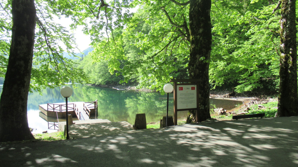
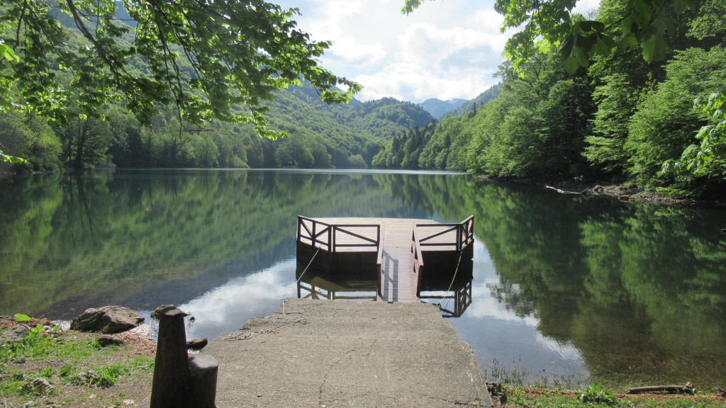
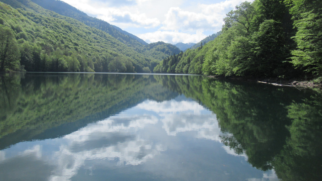
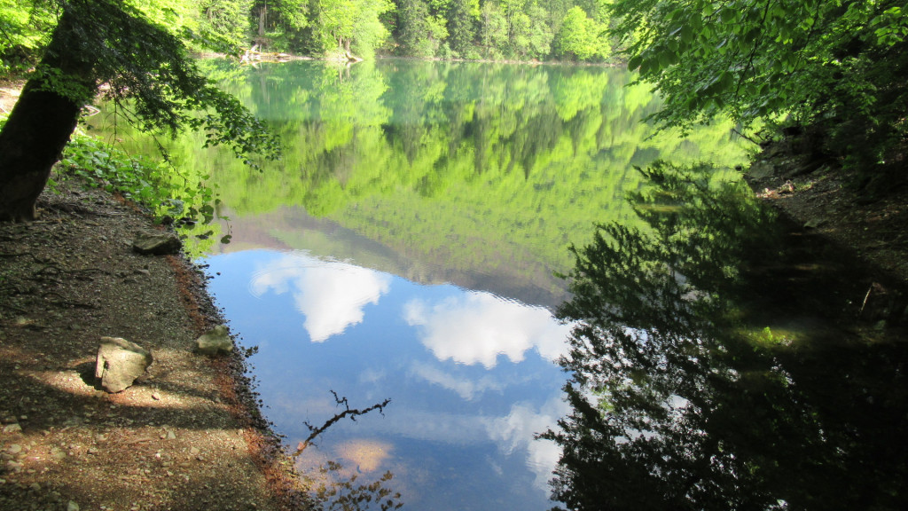
The Biogradska lake tour. This pleasant 3.5 km walk features benches, picnic tables and wooden footbridges in the wetlands where the Biogradska River and its tributaries flow into the lake. Ideal for families.
Lake Šiško (altitude 1,705 m). This relatively easy hike starts at Lake Biogradska. Then take the dirt road behind the park's wooden chalets. This zigzags through the forest before reaching the first katun (shepherd's hut), Dolovi, set amid high pastures. Once you've reached this katun, continue along the dirt track which climbs a small hill to the right and crosses vast meadows (the path is sometimes overgrown and therefore a little harder to make out). The path then descends slightly and becomes wider again. Continue along this path for a few kilometers, then fork left towards the large Šiško lake. Note the possible presence of flocks of sheep and therefore of sheepdogs. Although impressive, these dogs are harmless. They are, however, excellent guardians and will undoubtedly oblige you to make a few detours. To return, take the same route. Allow around 6 hours' walk there and back.
The virgin forest. This long and challenging hike takes you through a variety of landscapes. It starts at Lake Biogradska, along the dirt road that begins behind the wooden chalets. It follows the same path as the hike described above until it reaches Lake Šiško. Instead of turning left towards the lake, continue straight ahead to the foot of Zekova Glava (topped by a radio relay station). Once you reach the hairpin bend in the road leading up to the relay station, you lose your bearings and navigation becomes more difficult. Basically, you have to follow the road slightly below the ridge line and then, at the height of the katun Goles, which you can see on the left, you have to descend into a talweg which, if you've taken the right one, will take you just upstream of the lake. There is no longer a signposted trail for this last section, and it is advisable to take it only with a lot of experience and a compass, or with the help of a local guide. The descent to the lake, which you can't see, takes place in very uneven terrain with no real tracks (dense vegetation, countless tree trunks requiring incessant acrobatics). But overall, choose your talweg and go down. In the best case, you'll come across the lake, otherwise the river, which you'll have to descend to the lake if you're upstream from it... Allow a full day (10-hour walk).
Strmenica peak. A long hike from Mojkovac to Strmenica peak (2,122 m), the second-highest peak in the Bjelasica massif. Allow 10 hours' walking. Some very steep sections and snow generally present on the summit and its slopes until June. This hike is outside the national park, but offers excellent views of the park and Lake Biogradska.
Did you know? This review was written by our professional authors.
Book the Best Activities with Get Your Guide
Members' reviews on RANDONNEES DU BIOGRADSKA GORA
The ratings and reviews below reflect the subjective opinions of members and not the opinion of The Little Witty.