Geography of Ibiza
While the four main islands of the Balearic Islands - Mallorca, Menorca, Ibiza and Formentera - cover a total area of almost 5,000 km2, Ibiza alone accounts for just over a tenth of this. With 570 km², it is the third largest island in the Balearic Islands. The westernmost of the Mediterranean islands, it lies just under a hundred kilometers off the coast of Valencia, on the peninsula. From Cap de La Nau, on a clear day, you can make out the outline of the island on the horizon. Ibiza is also quite close to the African continent: the island is equidistant from Algiers and Barcelona, a much shorter distance than that separating it from Madrid.
But how did Ibiza come into being? Like the Gymesias (Majorca and Menorca), Sardinia and Corsica, it is the result of the detachment of an imposing blade of land to the south of the Iberian plate some 30 million years ago. This piece of land then fragmented: its northeastern part split in two and served as the supporting terrain for Corsica and Sardinia. The other, more southerly, part of the lamina drifted further south and fragmented, giving rise to the Pityuses and Gymesias islands. The main reason for this difference in geological landforms is the formation of the Gulf of Lion (Provençal Basin).
Geologically, Ibiza is particularly rich. The island is home to almost every type of rock found on the Iberian Peninsula (Spain, Portugal, Andorra, Gibraltar and the Balearic Islands). Its history dates back some 6 million years, when Ibiza and Formentera formed a single mountain rising 4,000 metres beneath the sea. This underwater geological past explains the essentially sedimentary composition of the island's rocks, and consequently that of its flora: the island's plants feed on the calcium present in abundance in the soil.
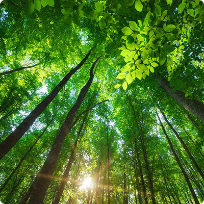
Topographically, Ibiza is 40 km long and 20 km wide. The territory is extremely mountainous and covered by a primeval forest of pines, the trees that give the archipelago its name. There are rare plains punctuated by mountain ranges such as the Serra de Cala Molí, dominated by Mount Sa Talaiassa (475 m), more commonly known as Sa Talaia and the island's highest peak. Apart from this massif, located just a few kilometers from Sant Josep, the other mountain ranges, composed of limestone dating from the Cretaceous period, are Serra dels Mussols (347 m), Serra Grossa (398 m) and Mala Costa (410 m). All of this terrain is composed mainly of limestone, dating from the Cretaceous or Jurassic periods for the higher elevations, and marl dating from the Triassic geological era. The relief has nevertheless been transformed and softened by episodes of torrential rainfall, and then by the hand of man: agricultural and pastoral practices have played a major role in shaping Ibiza's current physiognomy.
On the seaside, Ibiza boasts just over 150 km of coastline. From long beaches and coves (the famous "calas") of fine white sand, to majestic cliffs and rocky outcrops, Ibiza's coastline is as splendid as it is varied.
The island is linked to its neighbor Formentera by a series of rocks and islets. The two islands are separated by a 3 km strait dotted with islets that have been classified as a nature reserve: the Parc Naturel de Ses Salines, renowned for its rich seabed of posidonia meadows.