The Fiz mountain range is a relief in the Alps, located in Haute-Savoie. It is the setting for a superb, highly panoramic hiking trail that allows you to circumnavigate it on a loop.
It is, however, a difficult hiking circuit, with a total of 3,120 m of ascent and descent, generally divided into 4 stages starting from Passy. Some sections can also be a little technical, as you'll be crossing scree and one passage requires you to hold on to a cable. This is still accessible, but good equipment is essential, i.e. good quality hiking boots and walking poles. All in all, you'll cover 40 kilometers on well-marked, well-maintained trails.
The route is always well signposted. Along the way, there are several refuges where you can eat or sleep. The Tour des Fiz is only accessible from June to mid-September, as the risk of snow is high the rest of the year, and the refuges are closed. Dogs are not allowed on this route.
Day 1: Passy to Alfred Wills hut
- Stages: Passy, Ayères des Pierrières, Col d'Anterne, Lac d'Anterne
- Distance: 13.2 km
- Duration: 4 h 45
- Itinerary
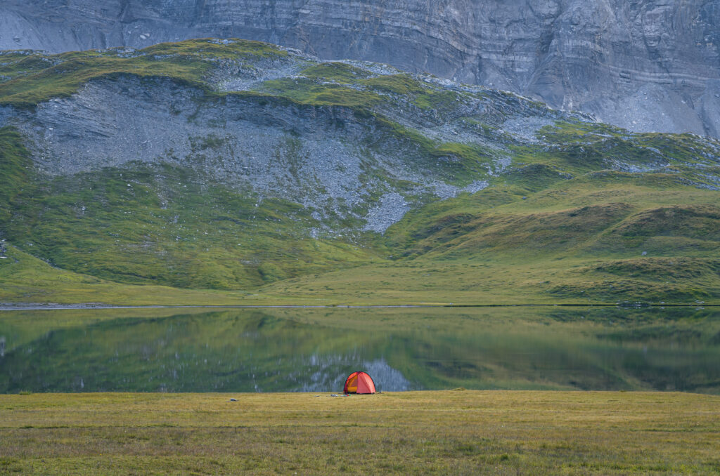
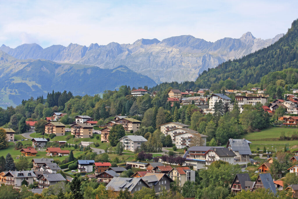
To start the 4-day Tour des Fiz, you'll need to get to Passy, and more specifically Plaine Joux, which is a locality within the commune. Ideally, try to sleep in the commune the night before, so you can start your walk early in the morning. Start the route from the Plaine Joux parking lot, walking along the Tour du Pays du Mont Blanc trail towards Ayères des Pierrières. Continue up to the Col d'Anterne on a fairly steep path. Take a break to admire the exceptional panorama from this pass at 2,257 m altitude, then descend to Lac d'Anterne, a superb alpine lake at 2,063 m altitude.
Follow the path back up to the Alfred Wills hut. Open from June to mid-September. Here you can eat and sleep in dormitories. You can also sleep in a bivouac tent, which is permitted within the reserve between 7 pm and 7 am. You'll need to take a bag with you to collect your garbage and reduce your ecological footprint, as the refuge does not accept garbage. Don't forget to bring an external battery, as recharging on site can be difficult. In total, this day includes 1,100 m of ascent and 650 m of descent.
Day 2: Alfred Wills hut to Sales hut
- Stages: petit col d'Anterne, refuge des Fonts, Le Pelly de Serai, cascade de Sales
- Distance: 15.5 km
- Time: 7 hrs
- Itinerary
Leave the refuge in the morning and head for the Petit Col d'Anterne. From here, the route to the Fonts refuge is entirely downhill, so you'll have to absorb a significant negative altitude difference. So don't forget your walking poles. The refuge des Fonts, like the previous one, is open from early June to mid-September. You can enjoy Savoyard specialities here, but also sleep here if you want to add a stage to your 4-day tour of Les Fiz.
From the refuge, you'll have to climb again, passing through Le Pelly de Serai, before arriving at the cascade de Sales, in a magnificent alpine setting that 's a must-see in Haute-Savoie. It's less than 2 kilometers to the refuge de Sales, where you'll spend the night, but the trail still climbs. All in all, this second day includes 1,362 m of ascent and as much descent.
Day 3: Sales hut to Platé hut
- Stages: Col de la Porlette
- Distance: 5.8 km
- Time: 2 hrs 30 mins
- Itinerary
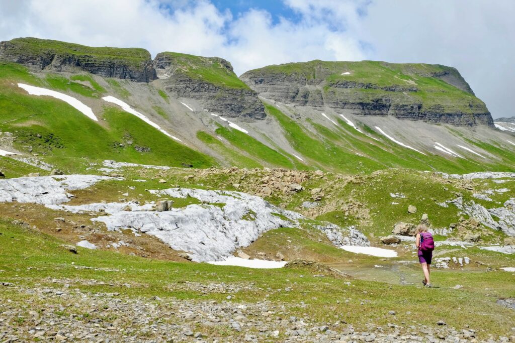
This third day of the Tour des Fiz in 4 days is rather short, allowing you to rest from the previous day's big stage, take time to stroll around and make plenty of stops to admire some of the most beautiful scenery in the Alps. The stage is a little steep, however, with 500 m of ascent and 340 m of descent in a short distance. It's also a little technical, as it crosses some scree. Good hiking equipment and experience are therefore essential.
Leave the Sales refuge in the morning and climb up to the Col de la Porlette. It's about a 1.5-hour walk to this first site of interest. The Col de la Porlette rises to an altitude of 2,354 m, where you can admire beautiful alpine scenery and probably come across ibex. You'll then have to descend a little on uneven ground to the Platé refuge, where you'll spend the night. The refuge is open from mid-June to mid-September, but keeps a section accessible outside this season.
Day 4: Platé refuge to Plaine Joux
- Stages: Col du Colonney pass, Monthieu head, Lindars head, Colonney head
- Distance: 5.2 km
- Time: 4 h
- Itinerary
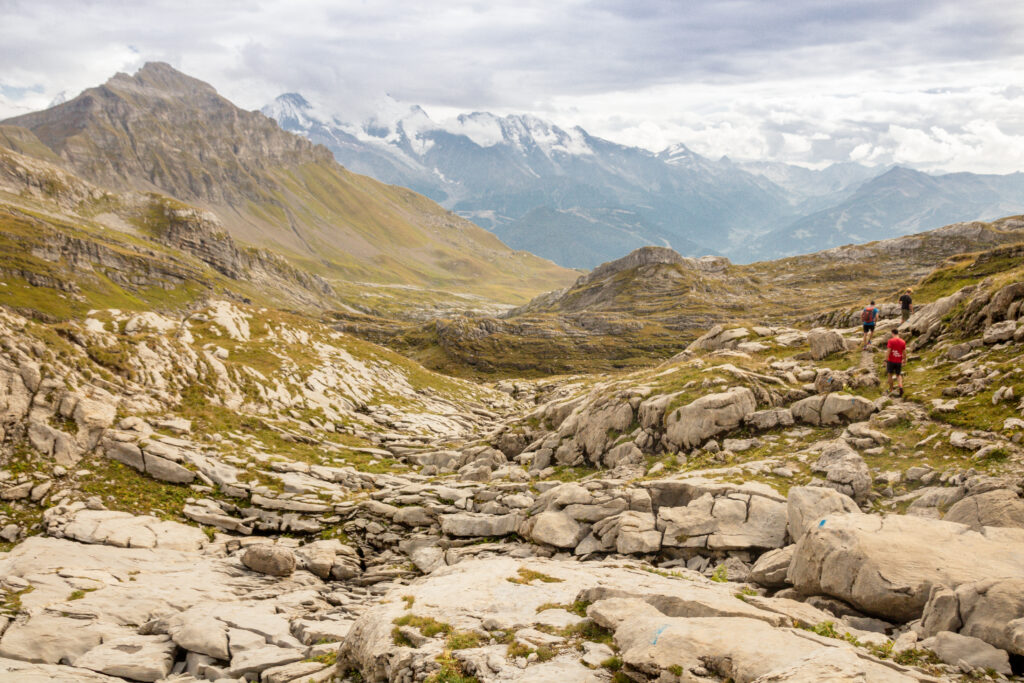
It's already the last day of your 4-day tour of Les Fiz. This final day's itinerary will give you one last chance to admire the beautiful scenery of this superb mountain destination before returning to Plaine Joux and bringing this wonderful adventure to a close. To do this, you'll first head for the Col de Platé, cross the desert of the same name, then continue your walk to the Colonney pass. You'll walk along the ridge past the tête de Monthieu and the tête des Lindars. A technical section requires you to hold on to a cable to descend an irregular rock face.
You then continue on to the tête du Colonney, a summit rising to 2,692 m above sea level. You'll then retrace your steps, partly along the same path, to reach the pleasant mountain resort of Plaine Joux. This final day of the 4-day Tour des Fiz includes 200 m of ascent and 950 m of descent.


