Travel Guide Gjakova (Ðakovica)
Find an accommodation
Advertising
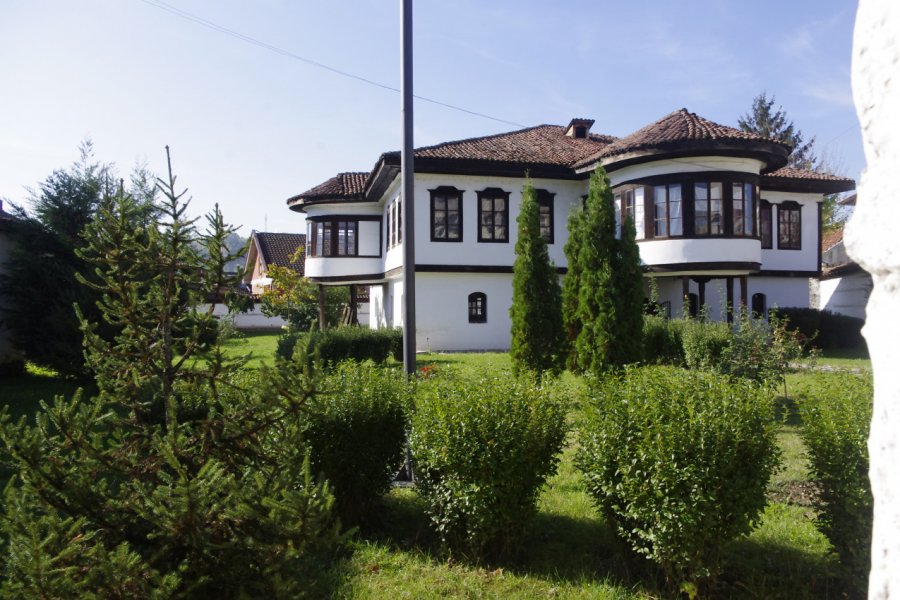
The town is called Gjakovë/Gjakova in Albanian (pronounced "dja-kœu-va") and Ђаковица/Đakovica in Serbian ("dja-ko-vi-tsa"). It has 41,000 inhabitants and 95,000 inhabitants with the rest of the municipality. It is also the capital of the district of Gjakova/Đakovica (214,000 inhabitants, 95% of whom are Albanians and 3% Roma and Ashkali). It is located 12 km north of the Qafa e Prushit border crossing with Albania, 37 km southwest of Peja/Peć, 37 km northwest of Prizren.Bruised by the Kosovo war, Gjakova/Đakovica is now only the seventh largest city in the country in terms of population. Yet it was a major commercial hub during the Ottoman period. Strategically placed at the western entrance to the Metochia/Dukagjin plain and the Erenik valley, at an altitude of 350 m, the city developed strongly from the 15th to the 19th century as a commercial stop between Constantinople and the Albanian port of Shkodra. Gjakova/Đakovica also benefited from the influx of Albanian Catholics (16% of the population today) from Malësi, an austere mountainous region straddling Albania and Montenegro. Unfortunately, almost the entire old town, especially the large Ottoman sharia, was destroyed in 1999. Certainly, the reconstruction financed by international aid has given the city a beautiful appearance. But the result is a bit fake, too smooth and soulless. While it is ideally placed halfway between Prizren and Peja/Peć, Gjakova/Đakovica struggles to attract visitors
What to visit Gjakova (Ðakovica)?
Advertising
Suggested addresses Gjakova (Ðakovica)
Weather at the moment
Advertising
Organize your trip with our partners Gjakova (Ðakovica)
Transportation
Book your plane tickets
Car Rental
Boat rental
Accommodation & stays
Find a hotel
Holiday rental
Find your campsite
Tailor-made trip
Immersion travel
Services / On site
Activities & visits
Find a doctor


