Travel Guide Svir ())
Find an accommodation
Advertising
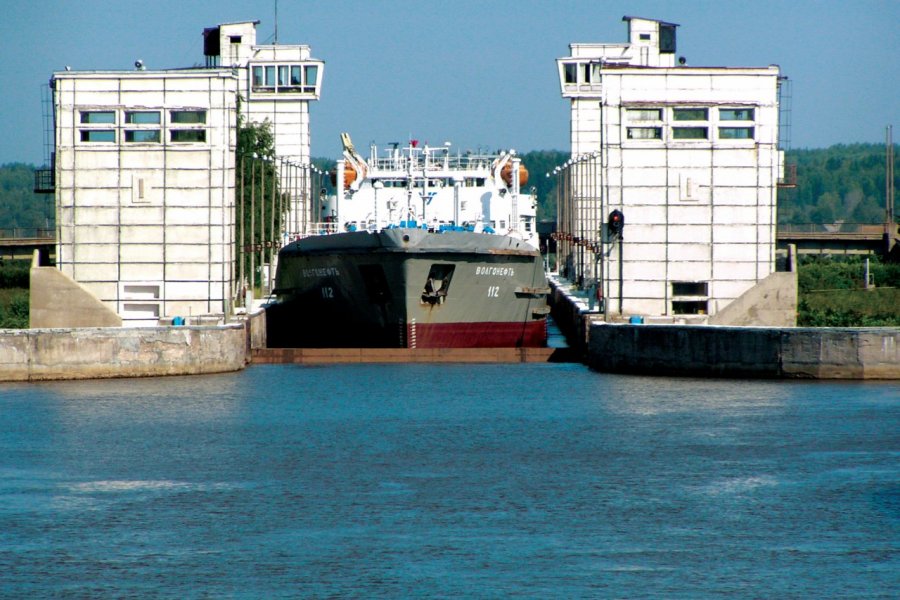
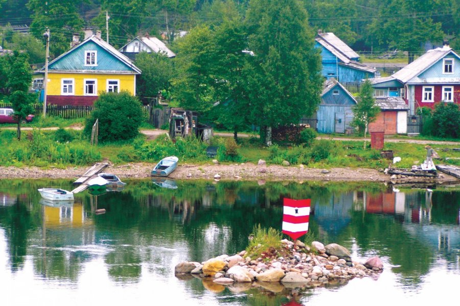
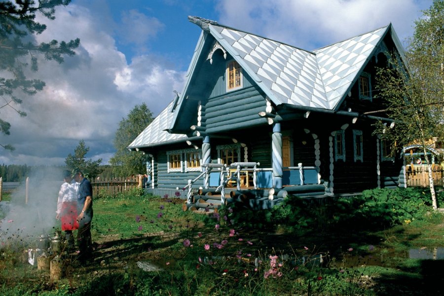
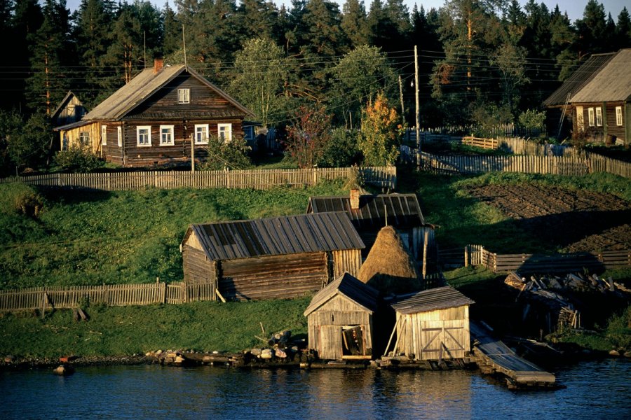
After crossing Onega Lake from north to south, the boat enters the Svir. Although small (224 km), it is a real delight for those who travel it. Taking its source in Lake Onega to throw itself into Lake Ladoga, Europe's two largest lakes, we call it the blue road. The winding méandres to which he invites us, the places he places on us, the marécages tower, the vast green, dense forests and alanguis villages where we stop a few hours on holiday, justify this appellation.But Svir has not always been a part of pleasure, and it was feared for a long time because of its deep changes in depth and curves punctuated by rapids. The harsh weather of Karelia is also often the origin of thick fog, forcing captains to rely on wooden buoys and hand-wearing lanterns! Today, it is no less than 1 070 buoys that tilt the way, but they are lit automatically.The timber industry has always been dominant in the local economy. You will cross many storage sites, wood rafts and sawmills on your route. In the middle of the Ports ports and sawmills, the boat borrows the so-called Upper Svir lock, where the water level variation is 24 m. In fact, the depth of the river can vary by 5 m depending on the needs of the plant with a peak in spring and then a trough in autumn.
Suggested addresses Svir ())
Weather at the moment
Advertising
Organize your trip with our partners Svir ())
Transportation
Book your plane tickets
Car Rental
Boat rental
Accommodation & stays
Find a hotel
Holiday rental
Find your campsite
Tailor-made trip
Immersion travel
Services / On site
Activities & visits
Find a doctor