Travel Guide Vallée De L’ourika
Find an accommodation
Advertising
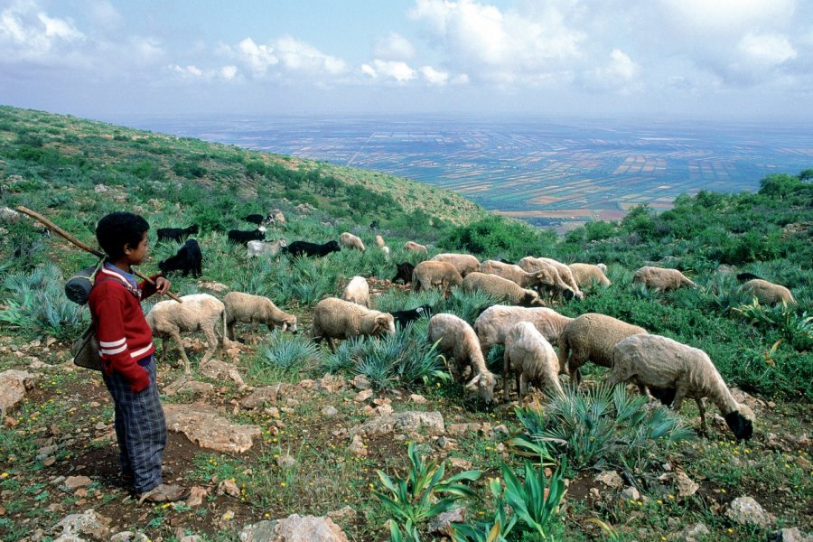
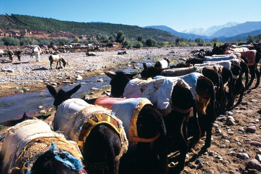
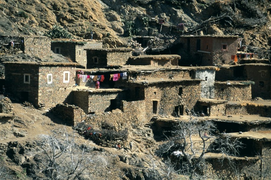
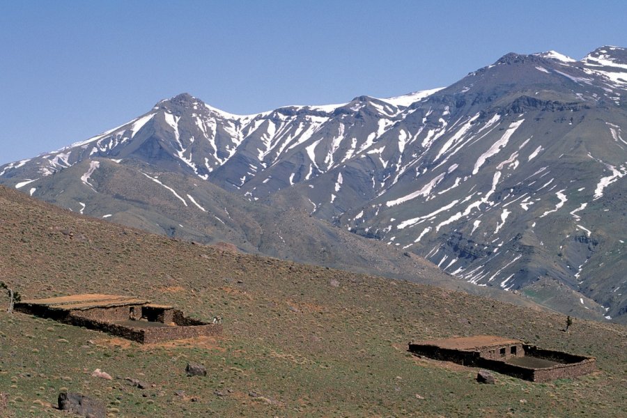
This sixty-kilometer excursion passes through one of Morocco's best-preserved valleys. The winding road to Setti Fatma is very good. This picturesque drive can be combined with an excursion to Oukaïmeden, Morocco's most important ski resort. Leave Marrakech via Bab Ighli, south of the ramparts. Aghmat, km 29. Arrive in Aghmat, a small, popular village on the outskirts of the ancient city. It was once a powerful independent town before being conquered and devastated in 1060 by the Almoravids who had settled in Marrakech. The population gradually migrated to the Red City, returning to Aghmat in the Almohad era. The Merinid sultans turned Aghmat into an important Koranic center, equipping the town with a medersa. Aghmat then became a major trading center on the southern route, and the starting point for numerous trade expeditions to Sudan and Niger. The remains of a mosque and palace, but above all, of a renowned hammam - one of the largest and oldest in Western Islam - bear witness to the past splendor of this medieval city. Km 40. On your left, a superb viewpoint overlooking the valley. The road continues through Berber country. Gradually, it rises in altitude, leaving behind numerous adobe villages clinging to the hills. On the asphalt road, you'll see more and more mineral dealers - more or less authentic - pottery and fossils. From here, the road narrows and twists and turns over the Oued Ourika, whose brown rocks can be seen below, contrasting with the green of the surroundings and the red of the sandstone and laterite cliffs. Aghbalou, km 43. Don't miss the souk with its Berber carpets drying on large hoists. At the next junction on the right, the road leads to Oukaïmeden. Km 52. The road is now level with Oued Ourika. On both sides are orchards and tomato and potato fields. The road then passes through the small village of Ighref, in the bed of the wadi. A pleasant village, organized around the main road and the innumerable gargotes that line it. Km 60. The road rises again, and the wadi bed widens. Numerous wooden bridges keep the villagers in touch with the rest of the world as they make their way back to Ighref. The road forks towards Djebel Yagour, one of the region's main mountains, culminating at 2,728 m. Before setting off on the mule track to the jebel, take a local guide to show you the prehistoric site of Yagour. You can also stop off at the adobe village of Anameur, a marvel that seems to have emerged from feudal times. You then arrive at the village of Oulmès. The village owes its name to a small spring of sparkling water. Setti Fatma, km 65. This marks the end of the asphalt road and the end of this tour. The village is nothing special, except on Thursday (souk day) and during the traditional moussem. After passing the Mohamed zaouïa, the path leads to the seven Ourika waterfalls, the highlight of this visit. Magnificent views over the valley and north to the Angour massif (3,268 m).
What to visit Vallée De L’ourika?


Advertising
Suggested addresses Vallée De L’ourika
Weather at the moment
Advertising
Organize your trip with our partners Vallée De L’ourika
Transportation
Book your plane tickets
Car Rental
Boat rental
Accommodation & stays
Find a hotel
Holiday rental
Find your campsite
Tailor-made trip
Immersion travel
Services / On site
Activities & visits
Find a doctor