Travel Guide Parc National De Timanfaya
Find an accommodation
Advertising
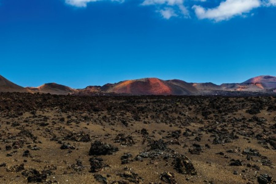
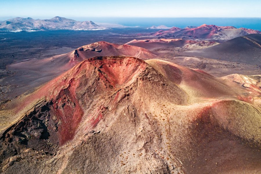
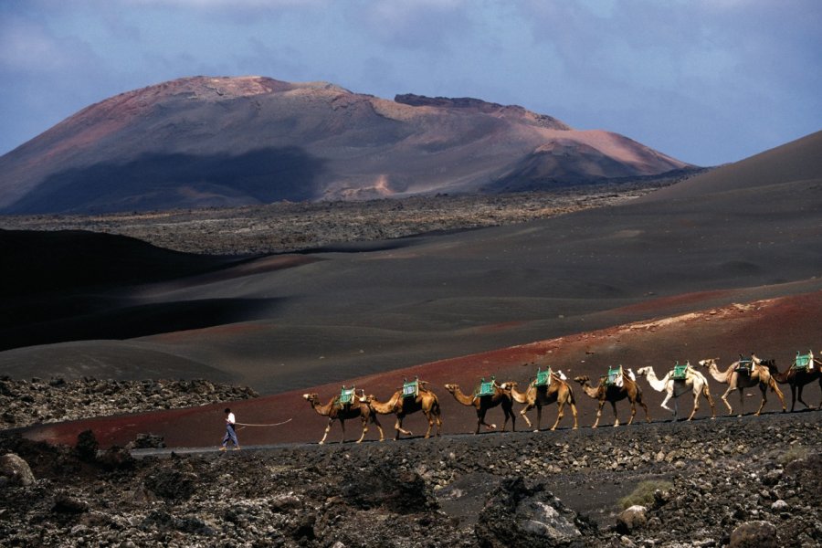
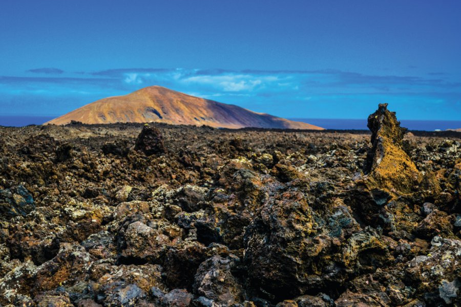
From 1730 to 1736, the eruption of the Montañas del Fuego, mountains of fire, in the southwest of Lanzarote, covered more than 200 km², almost a quarter of the island, with lava, slag and ashes. A new, weaker phase of volcanic activity occurred in 1824. Three new volcanic cones then appeared, Tao, Tingüaton or Volcano Nuevo, and El Chinero or Volcano Nuevo del Fuego. Since then, the volcanoes of Timanfaya have been sleeping, but with one eye. Agriculture quickly took over the peripheral lands, and crops on the volcanic sand, which act as a moisture sensor and thermal regulator, are characteristic of Lanzarote.
Suggested addresses Parc National De Timanfaya
Weather at the moment
Advertising
Organize your trip with our partners Parc National De Timanfaya
Transportation
Book your plane tickets
Car Rental
Boat rental
Accommodation & stays
Find a hotel
Holiday rental
Find your campsite
Tailor-made trip
Immersion travel
Services / On site
Activities & visits
Find a doctor
Parc National De Timanfaya travel inspiration

Find unique Stay Offers with our Partners


Other destinations nearby Parc National De Timanfaya
5 km away
25 km away