Travel Guide Telašćica
Find an accommodation
Advertising
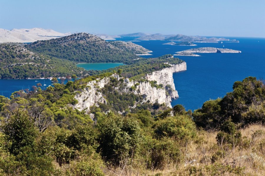
Under the ecological control of the natural park, the bay of Telašćica is particularly deep and wooded. All around, the land is protected by high cliffs of about a hundred meters. This refuge for boats in the event of a storm is shown on all maps. 25 small bays and 5 islands create a marine geography particularly suitable for pleasure boating.An inland road on the island starts from Sali and climbs through the scrubland to the first bay (Magroviva), which communicates with the next bays to the north. Everywhere, hiking trails to discover the Mediterranean flora in the natural park. Then on the road, the breathtaking views of the Strmac cliffs. These rocky walls have given rise to another spectacular natural phenomenon: Lake Mir. This body of salt water, whose level rises and falls according to the tides, can be discovered on foot. From the car park, you follow a path of about 1.5 km. The ideal place for photos and swimming in the off-season, as the water temperature is 4 to 5 degrees higher than the sea temperature. In summer, the water is cloudy because the lake is literally overrun by tourist groupsNatural park of Telašćica, information, entrance tickets on sale at Adamo tourist agency (Sali)
Suggested addresses Telašćica
Weather at the moment
Advertising
Organize your trip with our partners Telašćica
Transportation
Book your plane tickets
Car Rental
Boat rental
Accommodation & stays
Find a hotel
Holiday rental
Find your campsite
Tailor-made trip
Immersion travel
Services / On site
Activities & visits
Find a doctor