Travel Guide Arusha National Park
Find an accommodation
Advertising
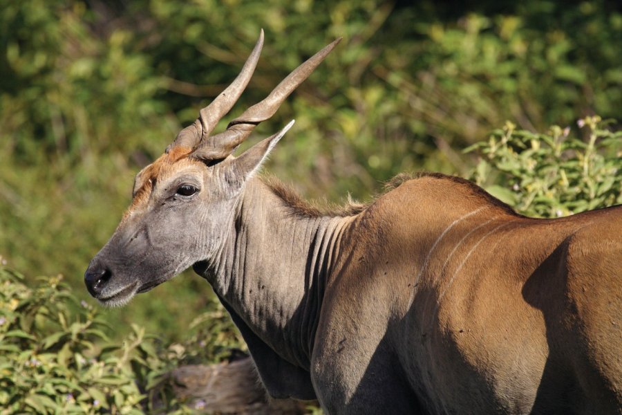
Created in 1960, this superb 137 km² national park, 1 hour from Arusha (32 km), is covered in dense, wild forests. Originally called Ngurdoto Crater National Park, it took the name Arusha in 1967, when Mount Meru was included. Divided into three zones, the park features the 3 km-diameter Ngurdoto Crater in the southeast, which can only be seen from above. Take care when descending to the viewpoint, as this area is inhabited by numerous buffalo. To the northeast, the Momela alkaline lakes offer superb views of Kilimanjaro. This area is home to many birds, including pink flamingos. Finally, the Meru volcano area extends as far as the Kitoto hills. Here, torrents abound, the mountains are streaming and the forest is densely populated. If you don't want to climb it, at least go on a short walking safari with a ranger to Momela Falls (1h round trip). If you have a 4x4, take the access track to the crater plateau, which is truly superb.
What to visit Arusha National Park?


Advertising
Suggested addresses Arusha National Park
Weather at the moment
Advertising
Organize your trip with our partners Arusha National Park
Transportation
Book your plane tickets
Car Rental
Boat rental
Accommodation & stays
Find a hotel
Holiday rental
Find your campsite
Tailor-made trip
Immersion travel
Services / On site
Activities & visits
Find a doctor
Arusha National Park travel inspiration

Find unique Stay Offers with our Partners


Other destinations nearby Arusha National Park
5 km away
25 km away